
I've had my eye on doing this trip for a while now and not being familiar with the area, I have been putting it off, that is until this weekend. Recieved an email from Kirk (Kai38) from ExpeditionPortal.com asking if I was interested in going, of course I jumped at the chance, and boy was I glad I did!!! Monticello is a small village northwest of T or C, NM. On the outskirts of the village is a county rd. which travels through the canyon for approx. 17 miles. Now one thing I have learned living here in NM is, even state hiways can be dirt roads and this county rd is no exception. The road travels the length of the canyon......but so does a small or large creek (depending on rainfall) and the road runs through the creek a countless number of times. This makes for an interesting and beautiful drive. Ok, on with the show. Pictured above is the town square area where we all met up to get everyone on the same page before we hit the trail.

Part of the town square is this old church, looks to have been renovated lately, but staying with old NM heritage.

Courtyard entrance to one of the old building in the square.

You can enter the canyon right outside of town, or you can take the forest service roads into the higher country. This route you over look and traveling through several other canyons and come out at the half way point of Monticello Canyon, which is the route we took. Here we are just leaving town and heading up.

and up.


We stopped for a break at this very scenic but exposed spot, the veiws we incredible as they were during the entire trip.


Again beautiful scenery everywhere you look


We stopped for lunch at this old corral found at the bottom of one of the several canyons.

Not much farther till our goal, just down and around the next corner.

Ahhhh made it, the canyon bottom is alive with trees, cattle and small ranches, and with fall in the air, the trees were painted with color.


Water crossing after water crossing, some short, some longer. The canyon begins wide near town and gets progressivly narrower the farther in you go, until it is just wide enough to get through with your vehicle at the end.

Poser rock, everyone has to get their photo op in......lol

The end of the canyon, from here the road travels about another mile though open country out to NM 52.
This was my first trip with Expo Portal folks and what a great bunch they were!!! Looking forward to more travels with them.
This was actually a weekend trip for me, so as the others headed back home, I headed off for a night of camping and another trail in the morning, so stay tuned.
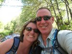

 The Otero Mesa is a large expanse of BLM land approx. 1.2 million acres. The area sits in Southern Otero County in South Central NM. Myself and some others from various adventure travel sites got together for a weekend of exploration. Kirk and I stayed for the weekend and the others were just out for the day. Above are Sheryl and I, Kirk and Jose, all posied at the trailhead and getting ready to roll.
 Shane and his Cherokee from Miitary Jeepers.
 Kristin from Military Jeepers and Jose from Expedition NM.
 Headed into the mesa on NM 506 from Hwy 54.
 Once up on the mesa, we turned north toward and into the Southern Sacramento mountains. This area traversed several deep canyons as we made our way up into the mountains.
 Once up on the mountains the road leveled off abit, but still continued to roll upwards.
 We passed through the small town of Pinon, where we found pavement for a few miles. Once back on gravel we stopped to decide on lunch and a needed break. The wind was begining to pick up, so we pressed on to find a less exposed area.
 We found a less windy canyon and and as luck would have it, a Geocash spot for Kirk, and a great little place to stop for lunch.
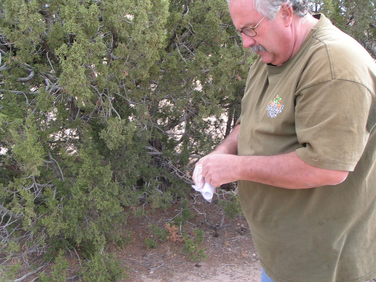 Kirk had scoped out a few Geocash spots along our planned route. We may have to look into this as it ads another sense of adventure as well as added fun to traveling.
 As we headed south, the scenery began to change from the higher mountains to the desert foothills. It was bcoming time to start looking for a camp site. It was also time for Jose to leave us so he headed back toward home as we scoped out a good area to camp.
 We found a nice dead end road off our main route, at the end of the road was a cattle watering area, nicely graded, with a large water tank we could use as a wind break. Camp was set up and Sheryl began a great dinner of smoked sausage w/peppers and fried potatos.
 Kirks trailer and roof top tent.
 The evening brought a beautiful sunset. This view is looking east toward the Guadalupe mountains with sunset creating a nice soft orange glow to the mountains.
 Looking west, we were camped in a horse shoe like area, surrounded by the foothills on three sides.
 Of course what in camping without a roaring campfire. The wind was picking up and temps were dropping, but the fire and good company made it all bearable.
 The following morning bought clear skies and colder temps as we packed up and got ready to head out of the foot hills and back onto the mesa.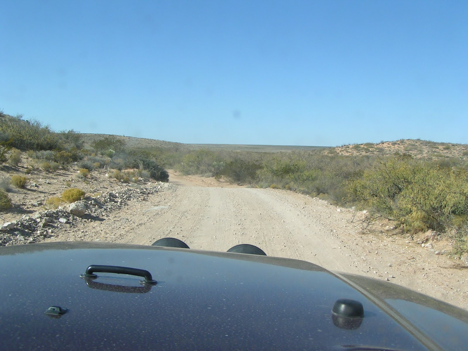
 For such a desolate area there are many small ranches scattered throughout the area as well as many old corrals.
 Out of the foothills and back on the mesa. Miles and miles of roads out here to explore.
 One of our destinations for the trip was the Cornudas Mountains along the TX/NM State line.
 We made it into the mountain range where we found a small lake, we stopped for a break and found the wind had picked up tremendously. The wind had become very cold and biting so we decided to call it a day and head for home since our adventure was coming to a close anyway. We'll head back out a explore this area during better weather.
 We turned our vehicles north into the mesa and back toward the trailhead. It was a great weekend of exploring and meeting new friends. This is what traveling is all about so until next time, keep lovin your life as we do ours.


